
The Commission on Audit is moving to shut down ghost infrastructure projects by forcing agencies and contractors to prove every stage of construction through GPS-tagged photos.
The audit body is accelerating a nationwide rule that ties government spending to verifiable, location-based evidence after repeated concerns about fake flood-control projects and suspicious fund releases.
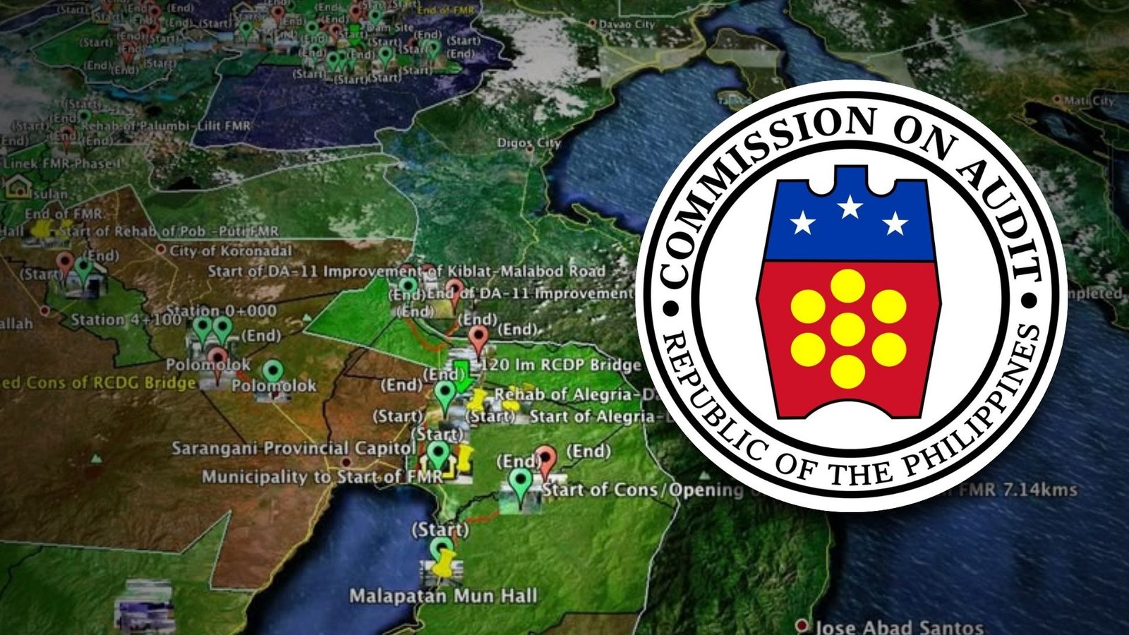
The upcoming policy orders all agencies, LGUs, and government-owned corporations to document their projects with photos that capture exact coordinates, along with the date and time they were taken.
These images must be submitted from the start of construction through completion and even during the warranty period. COA wants every peso released to match something that exists on the ground instead of on paper.
COA chairperson Gamaliel Cordoba said the requirement ensures government payments match real output. “Geotagging will ensure that when the government pays for a project, we know exactly where it is, when it was done, and what was actually built,” he said.
No project will be certified as completed without the required geotagged files, and auditors warned that payments may not be cleared until COA finishes validating them. The agency finished the initial draft of the rule in September 2025 and circulated it internally in October for technical comments before sending a revised version to major implementing agencies on November 7.
COA is also coordinating with the Philippine Space Agency for satellite imagery, with the Department of Economy, Planning, and Development expected to lead the integration effort. This satellite data will strengthen the audit trail and reinforce the new GPS-based checks.
Cordoba said the policy draws a line on accountability. “Let this be clear: the proper use of taxpayer funds is non-negotiable, and we will hold projects accountable to deliver measurable benefits for every Filipino community,” he said.


