

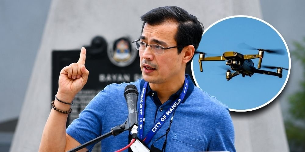
Manila has rolled out a monitoring system powered by AI-enabled drones and ArcGIS, a geographic information system (GIS) mapping platform, and Mayor Isko Moreno Domagoso said can predict flooding up to two hours before it occurs, giving residents more time to prepare or evacuate.
Domagoso unveiled the system during the Kapihan sa Manila Prince Hotel media forum on Wednesday, July 29, as part of the city’s digital transformation program. He said the technology integrates rainfall data, land elevation, drainage information and detailed 3D mapping to pinpoint areas at risk of flooding.
“Kaya natin ma-predict kung magbabaha sa kwentada ng buhos ng tubig, ‘yung volume sa elevation ng lupa natin, at kung na-mapping natin ang lahat ng drainage, easily in a matter of few minutes madi-detect mo na na itong lugar na ‘to magbabaha 2 hours thereafter,” Domagoso said.
He said the equipment goes beyond the capabilities of a conventional drone.
“‘Yung drone na ito is not an ordinary drone, this has AI capabilities and 3D mapping capabilities,” he said. Domagoso added that the system can map structures across Manila with millimeter-level precision and help the Manila City Disaster Risk Reduction and Management Department monitor electric posts, infrastructure, zoning compliance and conditions across the city’s six districts.
Domagoso also said the city is developing a centralized database covering real property, businesses, healthcare and barangay-level information. He said the system could be used to map diseases such as tuberculosis, pneumonia and colds, allowing officials to target interventions based on collected data.
According to Domagoso, Manila earlier this month received Esri’s Special Achievement in GIS Award in San Diego. He said continued investment in digital infrastructure would help future city leaders make decisions using reliable, real-time data.
“You’re saving lives and property, and those are the futures of Manila later on,” he said.